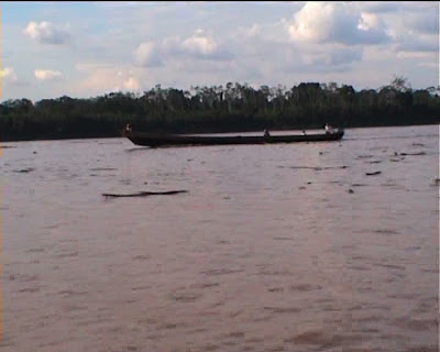
From Sepahua, we set off at high speed down the Ucayali, which partly due to flooding in the Sepahua River was full of floating logs.


There was continuing evidence of logging with encampments along the river banks.


From now on down the Ucayali the river has a ruddy red hue due to suspended mud clay, probably rich in iron.


We stopped to take on frieght for people in villages along the way.


All the way we were racing the boat in the above image at full tilt.


We are now beginning to see smaller river boats and barge tugs.


Atalaya lies up a side arm of the river in the distance in the image below.


Here we are approaching Atalaya up the side arm.


Views in the morning of the central square of Atalaya, which lies just off the river bank at the port.

We stayed in a little hotel overlooking the central square. From here we had to plan our own journey on down the Ucayali.


Down at the port the one sign of transport to Pucallpa was the Yacopati a small river boat trading in bananas, which was leaving in a day and a half, so we let them know we were on for a berth when they left.


No comments:
Post a Comment